
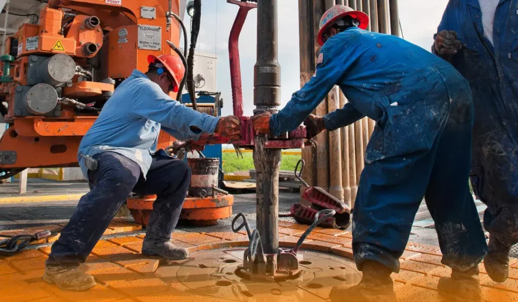
The Federal Government has commenced plotting verified coordinates for newly drilled and disputed oil and gas fields along boundaries of several oil-producing states. The exercise aims to resolve disagreements over entitlement to the 13 per cent derivation fund, the Revenue Mobilisation Allocation and Fiscal Commission (RMAFC) said.
The decision follows identification of field locations and verification by a technical team. The plotting process, expected to last five days, involves officials of RMAFC and representatives of concerned states and federal agencies.
The 13 per cent derivation fund is paid to states where minerals, especially crude oil and gas, are produced. The 1999 Constitution mandates the equitable distribution of this fund to oil-producing states.
In June 2025, RMAFC inaugurated an Inter-Agency Technical Committee with the National Boundary Commission, the Office of the Surveyor-General of the Federation, and the Nigerian Upstream Petroleum Regulatory Commission (NUPRC).
The committee’s mandate was to verify the coordinates of disputed and newly identified oil and gas wells.
Officials from the committee conducted fieldwork between September and October 2025. Visits included offshore locations, creek areas, and onshore sites. The physical verification was intended to ensure accuracy before plotting.
The plotted fields span boundary locations between:
Edo and Delta states
Ondo and Delta states
Anambra and Delta, and Anambra and Imo
Rivers and Imo, Rivers and Bayelsa
Rivers and Akwa Ibom, and Cross River and Akwa Ibom states.
These areas involve new wells and disputed locations where states have sought clarity on ownership and derivation eligibility.
At the flag-off of the plotting exercise in Abuja, Dr Mohammed Shehu, Chairman of RMAFC, said the coordinates had already been identified and were ready for plotting. He assured that the process would be conducted fairly, transparently, and equitably.
Mrs Kadija Umo, Chairman of the Inter-Agency Technical Committee, said the verification exercise was undertaken physically to ensure coordinate accuracy. The committee worked with surveyors-general from oil-producing states to observe the field activities.
State representatives from the affected areas are participating in the plotting, ensuring that the outcomes are acceptable to all parties. RMAFC has urged active cooperation throughout the exercise.
The plotted coordinates will form the basis for determining rightful beneficiaries of the 13 per cent derivation allocation. Final results are expected after the five-day exercise and will help address long-standing disputes over oil and gas asset ownership.
Accurate mapping of oil and gas wells is vital for transparent distribution of derivation funds, which support development in producing states.
The Federal Government, through RMAFC and its technical partners, has initiated the plotting of coordinates for disputed and newly drilled oil and gas fields.
The exercise is part of efforts to ensure equitable sharing of the 13 per cent derivation fund among oil-producing states and to resolve persistent boundary disputes.